
The Road to Recovery
$1.6B+ Damaged property loss
20+ Neighborhoods
48,000+ Individuals in zone
23,000+ Occupied housing units
5,000+ Damaged structures
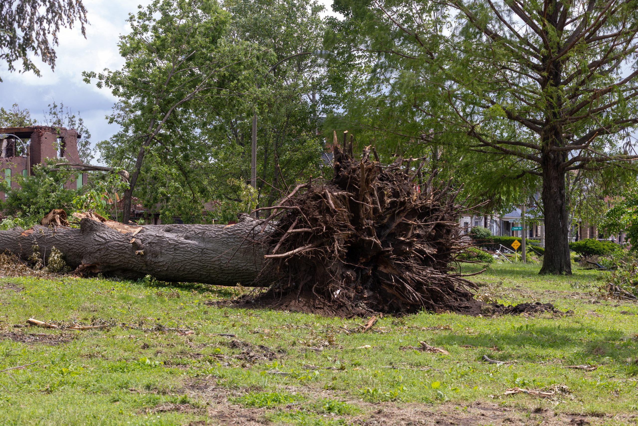
1M+ Metric-tons of debris
Desired Recovery Outcomes
100%
residents connected
to support
100%
eligible-homes repaired
100%
debris removed
100%
public infrastructure restored
Strategic Recovery Pillars

Recovered Residents
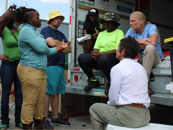
Keep residents safe and create a clear, trusted path forward for families impacted by the tornado.

Repaired Properties
Repair homes where possible and safely remove structures that cannot be restored.

Rejuvenated Neighborhoods
Reopen neighborhood anchors, revive local businesses, and restore momentum across tornado-impacted neighborhoods.
Recovery is moving through several phases as St. Louis responds to immediate needs, restores stability, and plans for long-term rebuilding across tornado-impacted neighborhoods.

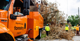
PHASE 1: RESPOND
May–July 2025
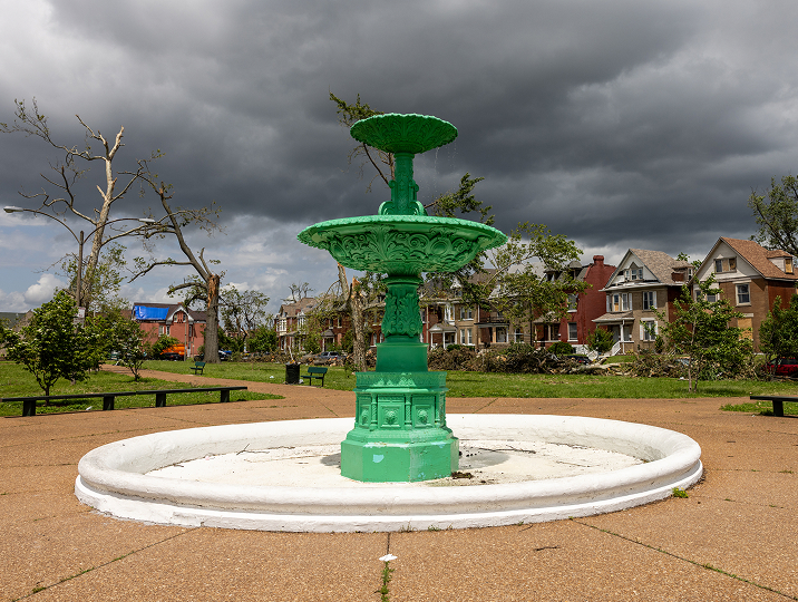
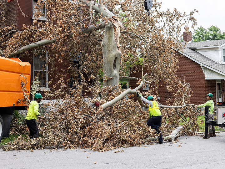
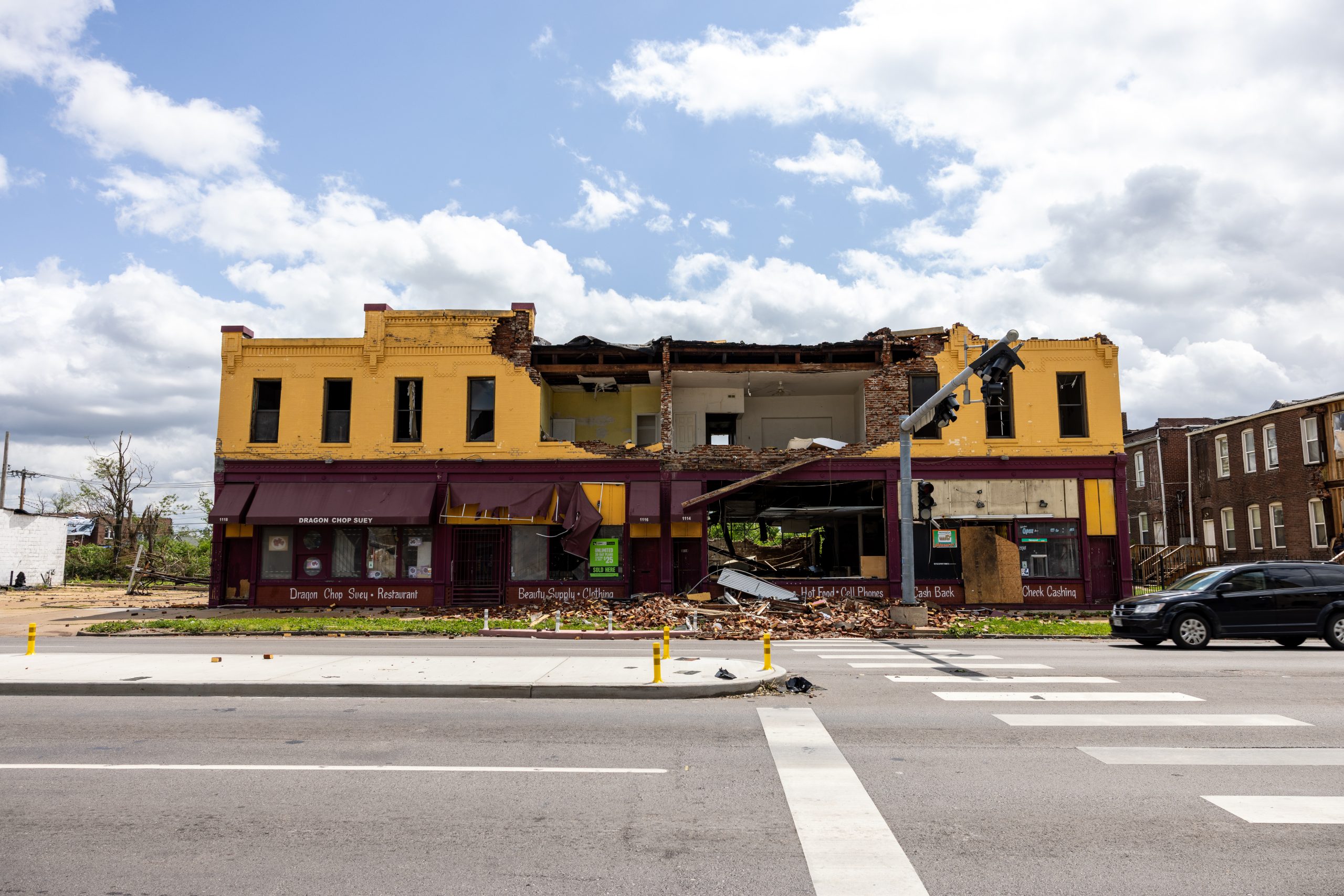
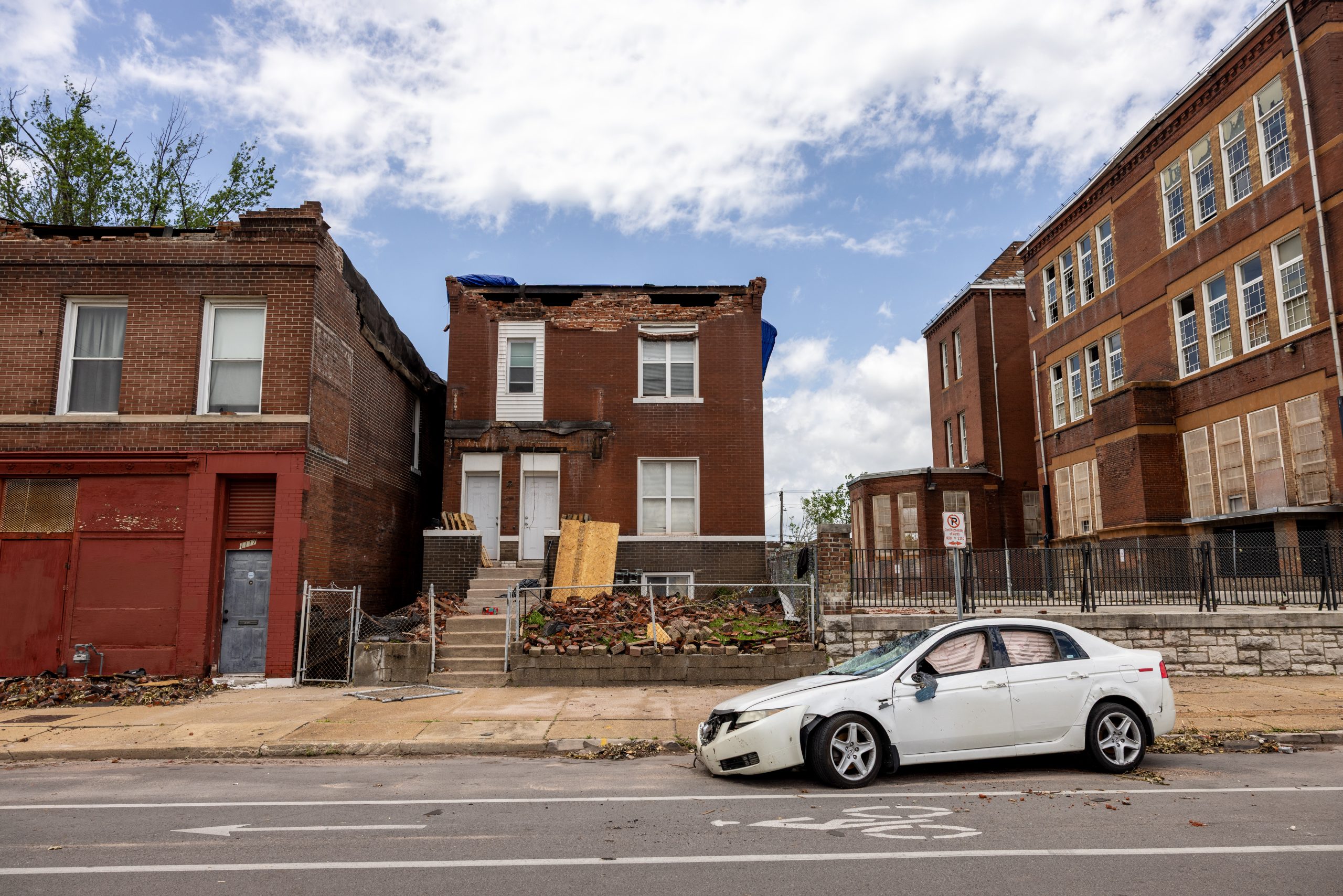
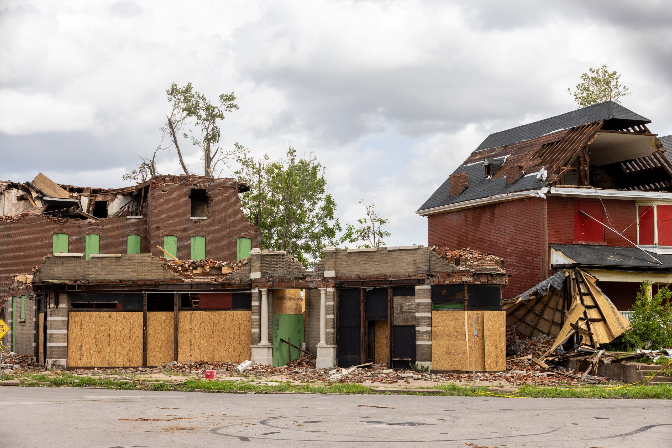
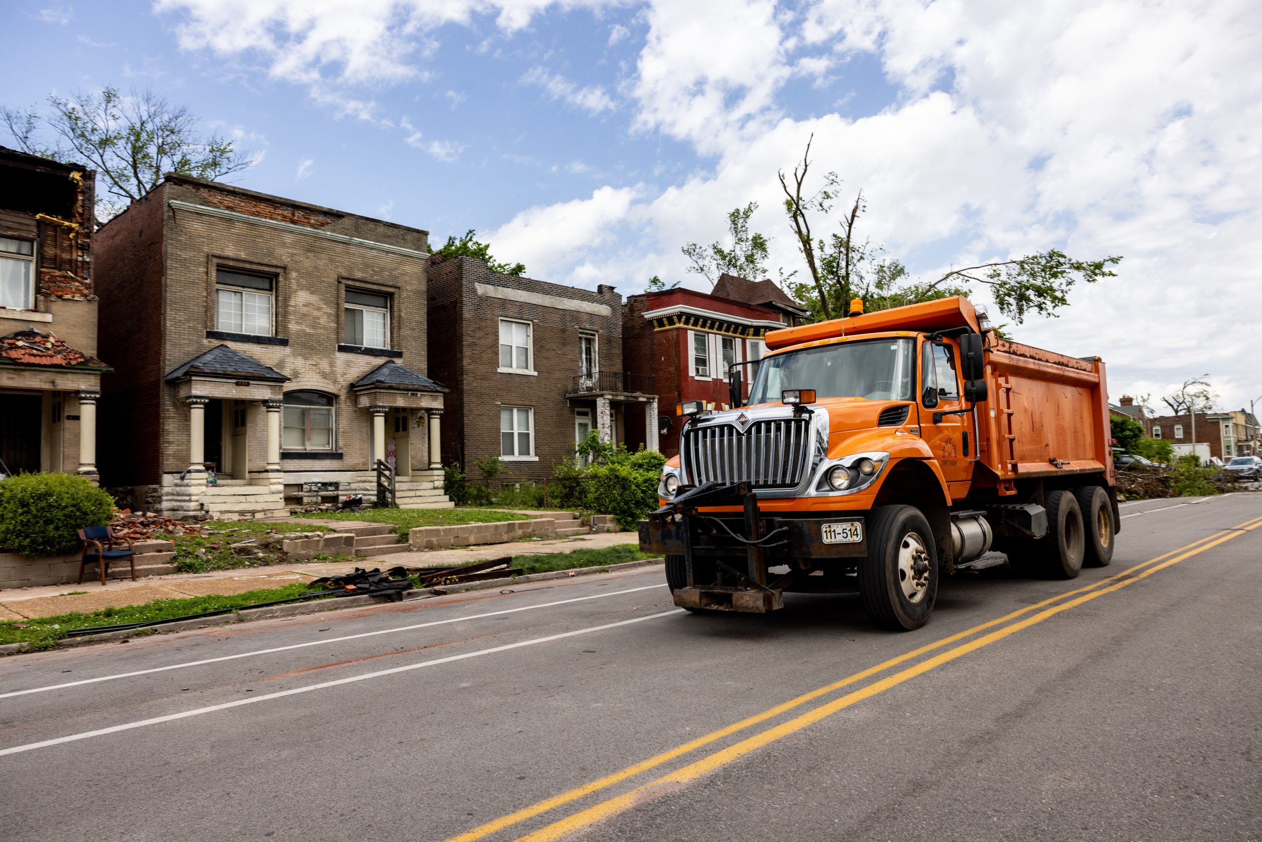
The tornado caused severe damage across multiple neighborhoods. Emergency teams cleared roads, restored essential services, and began initial debris removal to stabilize impacted areas. Early assessments documented damage to homes, businesses, and infrastructure and helped identify priority areas for recovery.
Additional actions included:

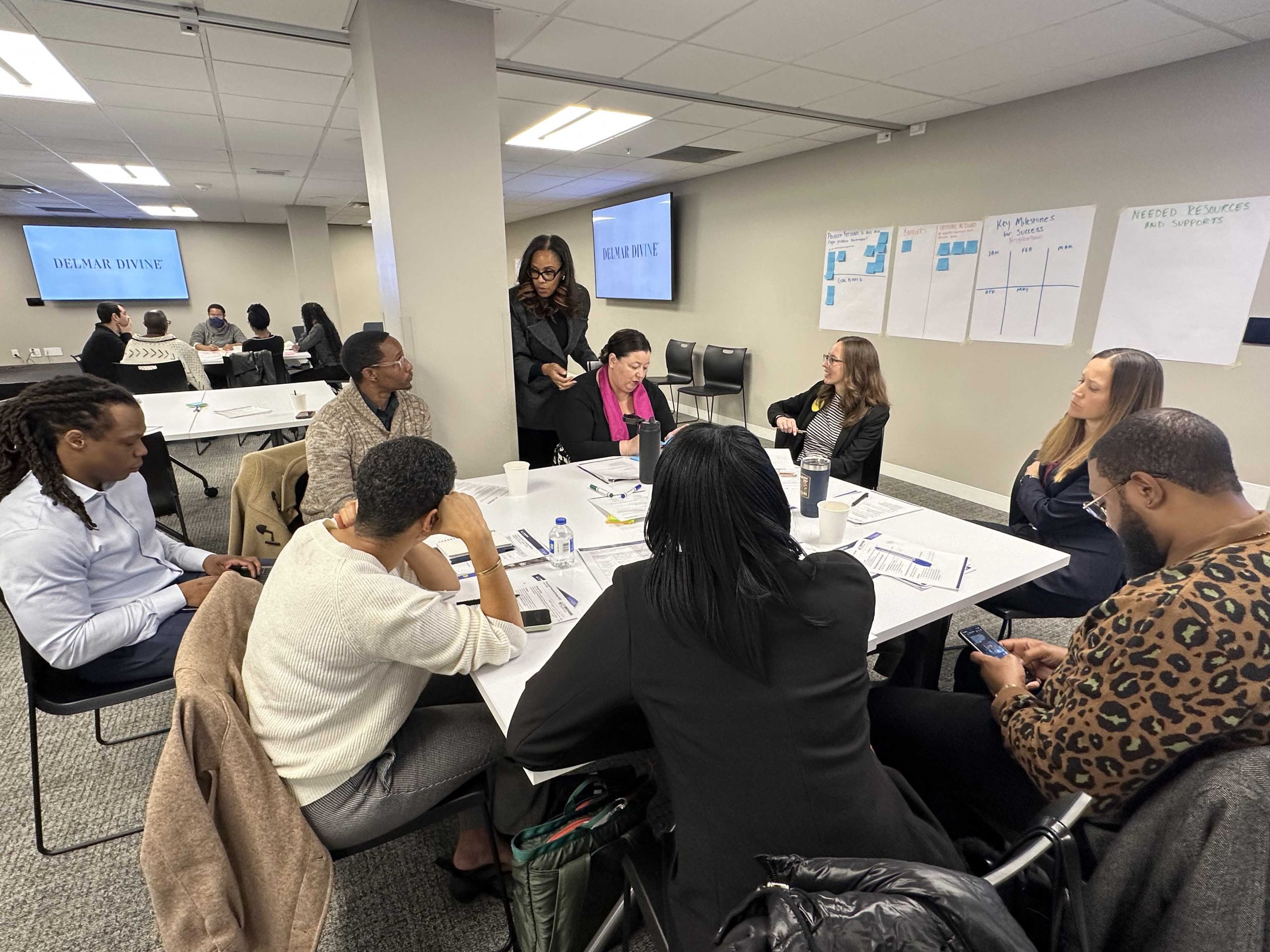
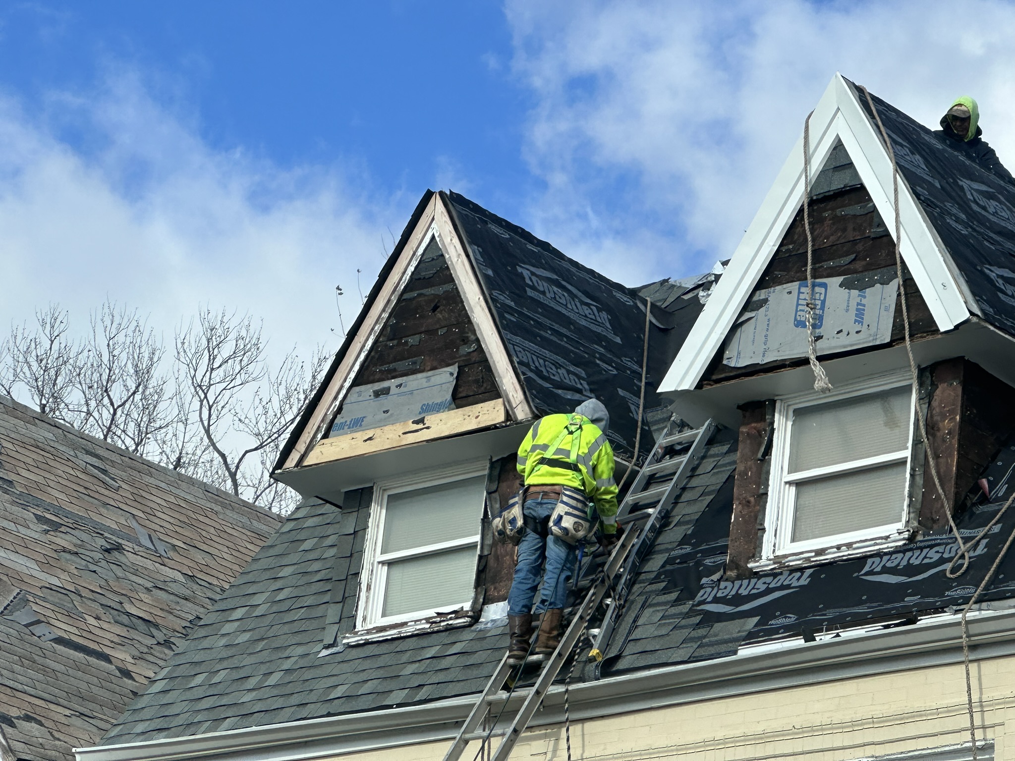
PHASE 2: RESTORE
2025–2027
Recovery efforts are focused on helping residents safely return home while stabilizing damaged properties and neighborhoods.

Download the latest monthly snapshot of tornado recovery efforts and progress.

With thousands of residents signed up for private property debris removal, home repair, and demolition, our recovery efforts are ramping up! Take a look at what's happening with demolition and home repair through our online progress trackers.


PHASE 3: REIMAGINE
2027 & BEYOND
Long-term recovery will focus on rebuilding stronger neighborhoods and restoring economic activity across impacted areas.
Future work will include:

Planning Area 1
The Ville, Greater Ville, & Kingsway East
The Planning Commission adopted Stronger Northside: Neighborhood Plan for The Ville, Greater Ville, and Kingsway East at the December 17th meeting. This plan was co-created with residents, rooted in their vision for strong, connected neighborhoods where current and future generations can thrive.
Planning Area 4
Hamilton Heights, Wells-Goodfellow, Kingsway West, O’Fallon, Penrose, College Hill, & Fairground
Geographic boundaries include a western portion near Skinker Parkway, extending to Page Avenue and Natural Bridge Road. On the eastern end, the area stretches from Natural Bridge Avenue to Glasgow Avenue, and from Ferry Street to I-70.
Planning Area 5
Panning just over one square mile and are home to 4,789 residents, these neighborhoods are rich in history and distinctive architecture. Together, these neighborhoods reflect the St. Louis’s evolving social and cultural landscape while preserving their unique character.